Google Uses AI to Predict and Prevent Natural Disasters
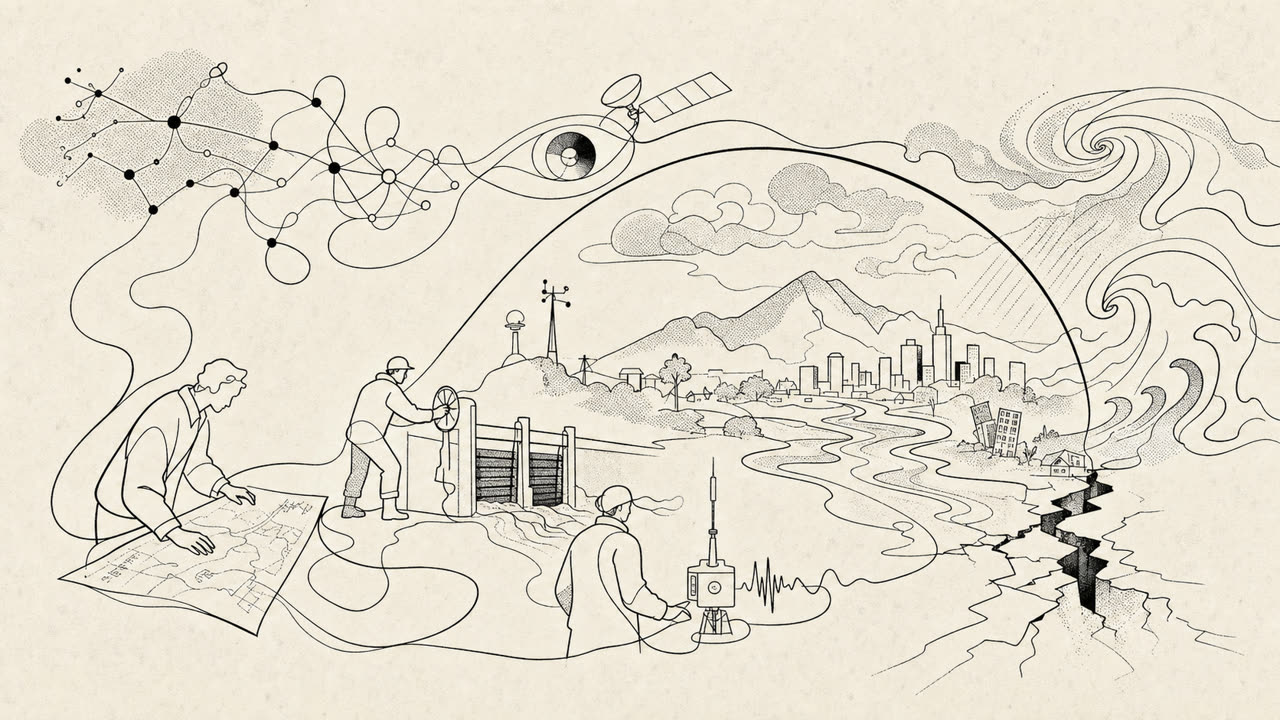
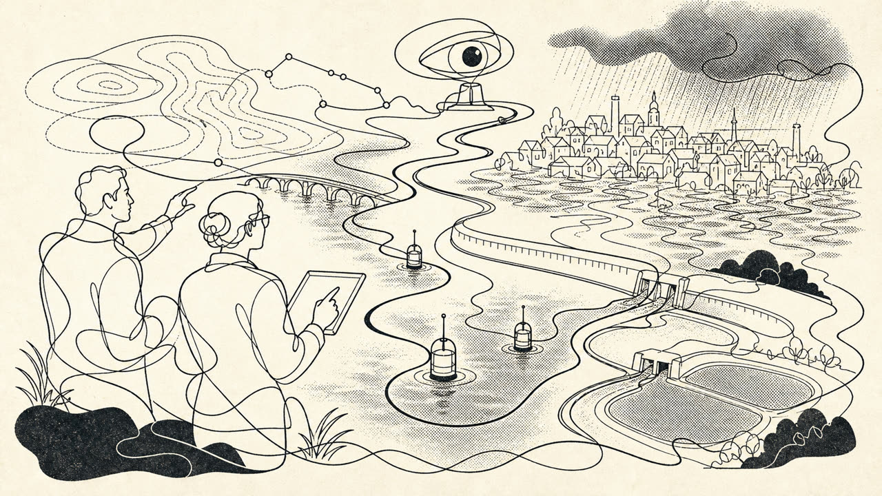
Google continues to develop its artificial intelligence capabilities to enhance disaster resilience. The company has moved from simply providing information during crises to developing systems for predicting and detecting phenomena such as floods, earthquakes, and extreme weather. As part of its efforts, Google has developed a global flood forecasting model that now covers over 2 billion people in 150 countries. Furthermore, improved cyclone forecasting tools (WeatherNext 2) have been introduced, providing detailed hourly forecasts for the entire world. To combat wildfires, Google uses satellite imagery and, in collaboration with partners, has developed FireSat satellites that can detect fires with high accuracy. These achievements demonstrate how AI tools can be integrated into everyday products and used to assist governments and communities in preparing for crises.
Why it matters
- —Demonstrates the practical application of AI in critical areas (climate, safety).
- —Shift from passive informing to active prediction and threat detection.
- —Combines scientific research (Nature) with global scaling (2 billion people).
Key facts
- The global flood forecasting model covers over 2 billion people in 150 countries.
- WeatherNext 2 provides detailed hourly cyclone forecasts for the entire world.
- The FireSat satellite system is being developed for detecting wildfires.
- Google has open-sourced the data and frameworks for floods, stimulating the scientific community.
The full text is in the original source. Here we provide a brief summary and key facts.